U.S. Time Zones and UTC Time
|
Click on Maps Below for Full Image
200 MB
Temperature, Height, and Station Plot |
Wind Contours |
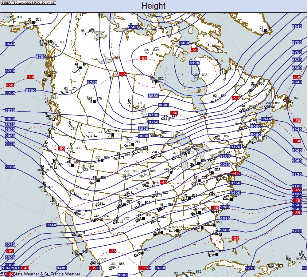
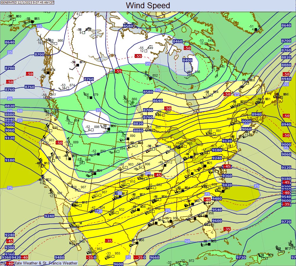
250 MB
Temperature, Height, and Station Plot |
Wind Contours |

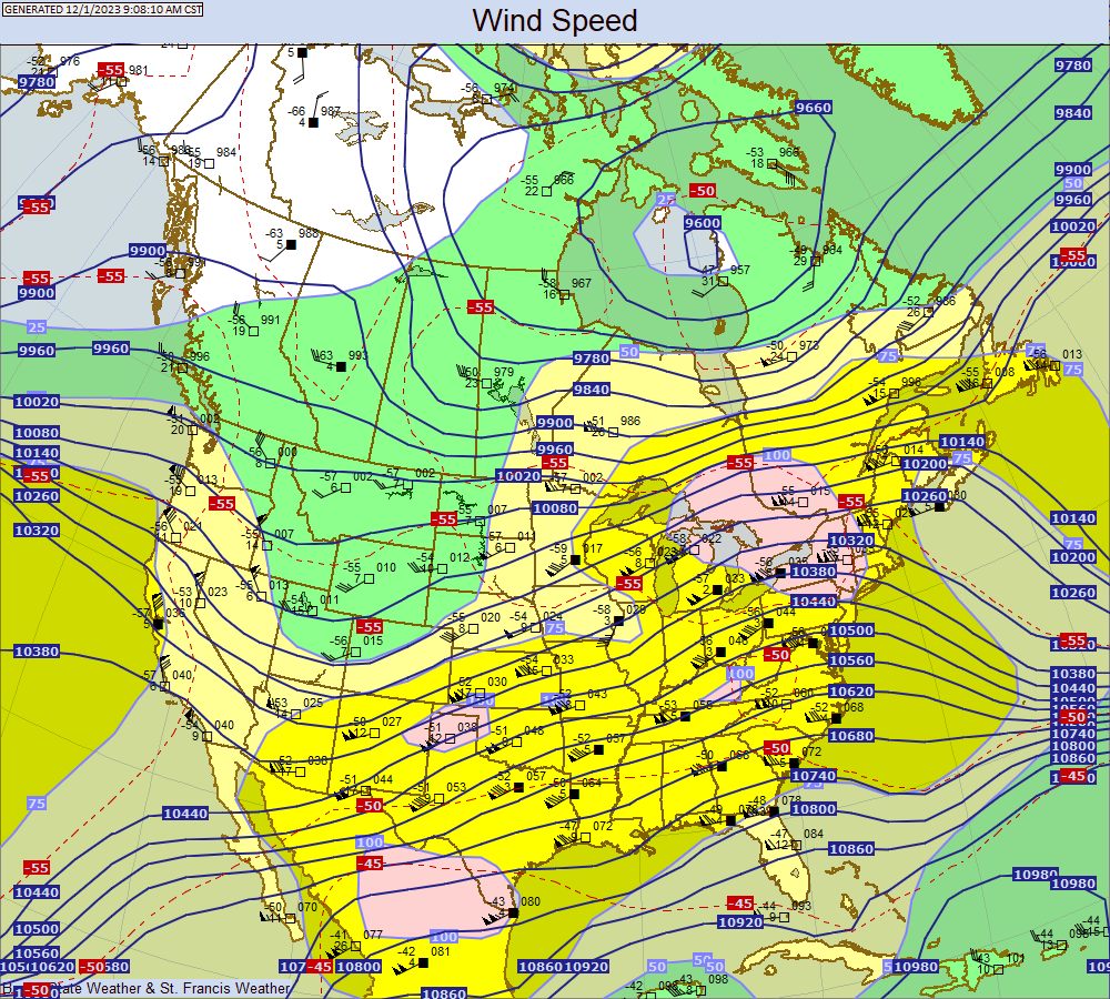
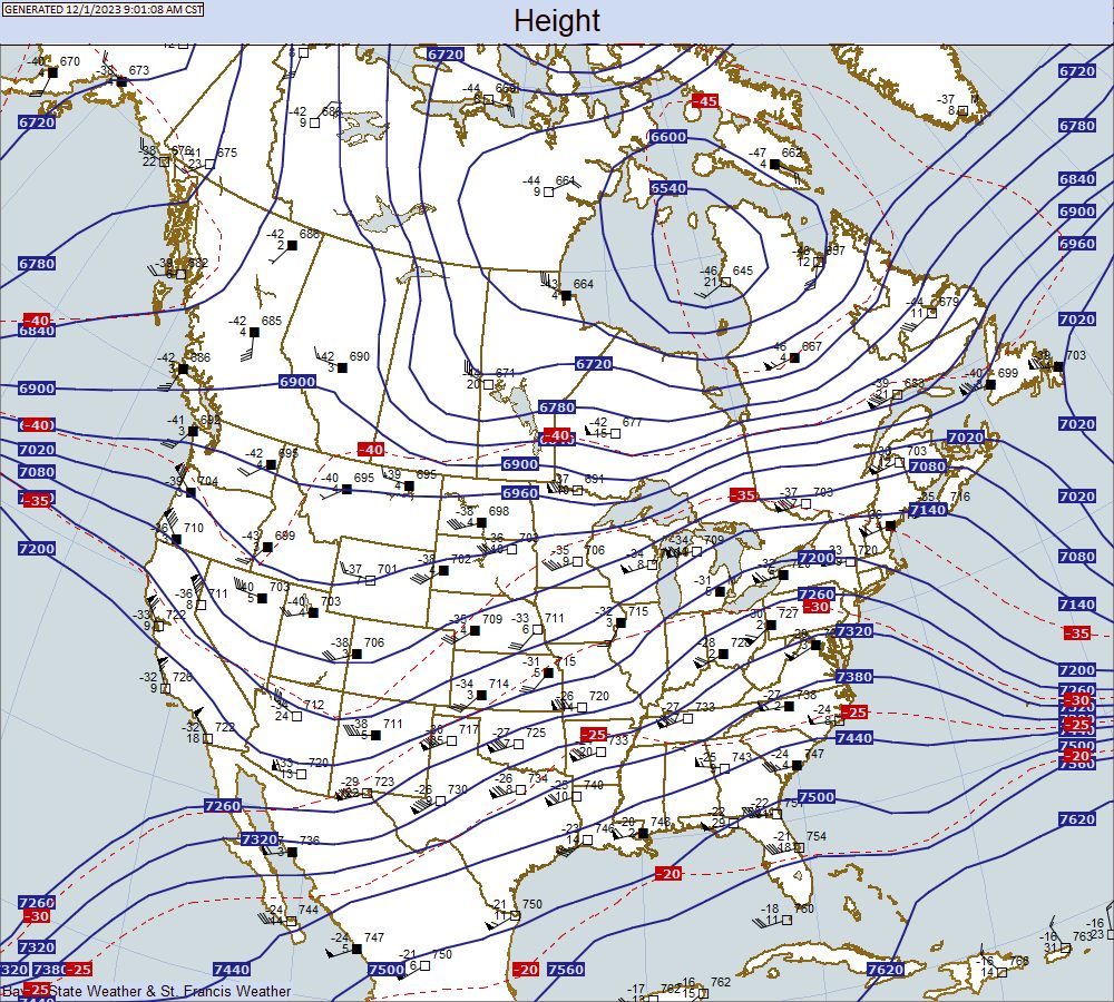
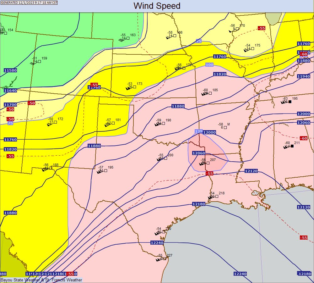
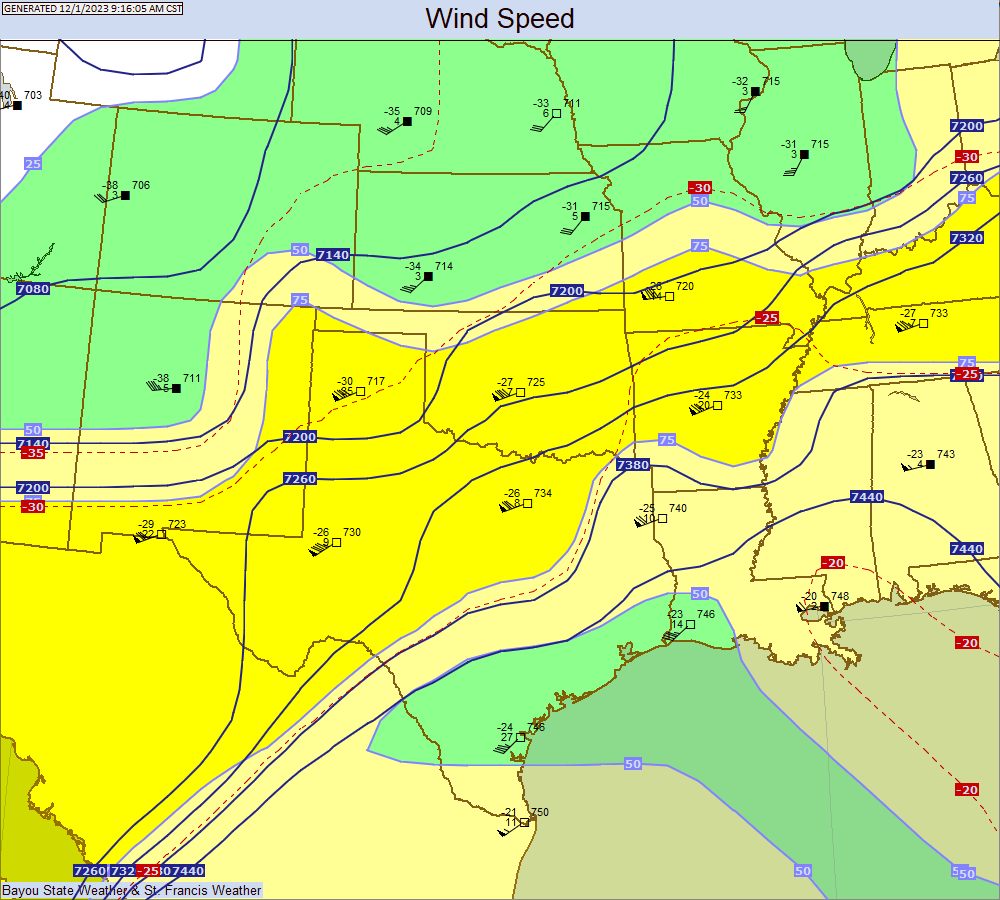
300 MB
Temperature, Height, and Station Plot |
Wind Contours |
400 MB
Temperature, Height, and Station Plot |
Wind Contours |

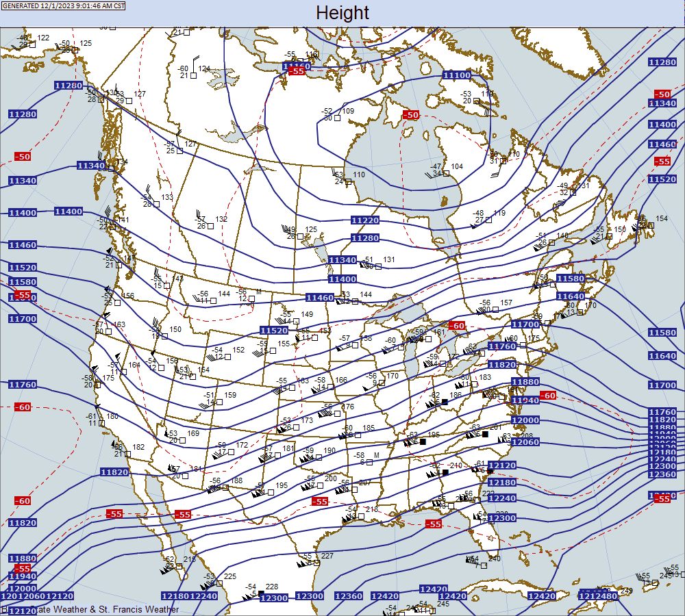
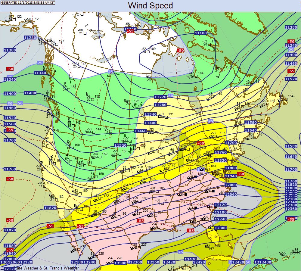
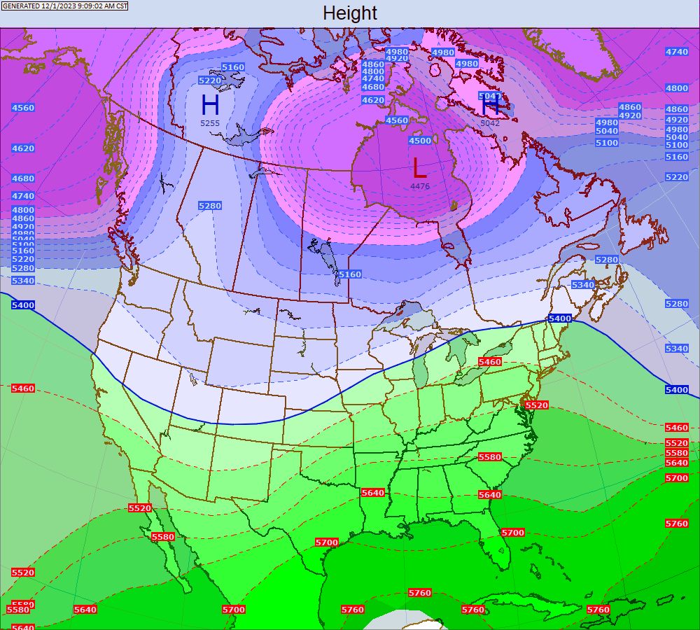
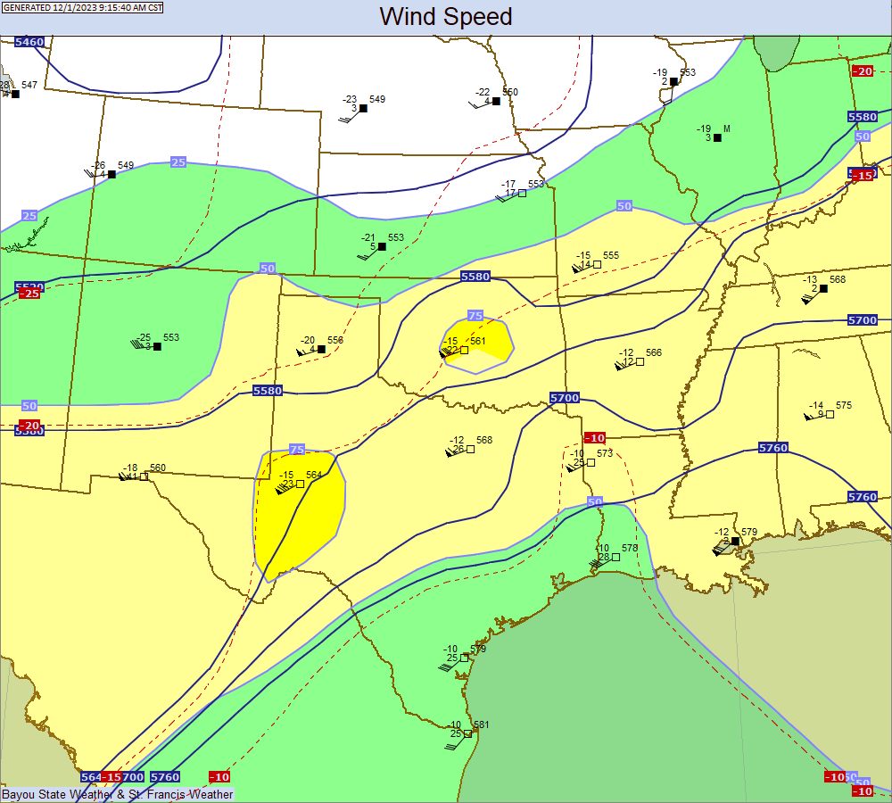
500 MB
Temperature, Height, and Station Plot |
Wind Contours |


700 MB
Temperature, Height, and Station Plot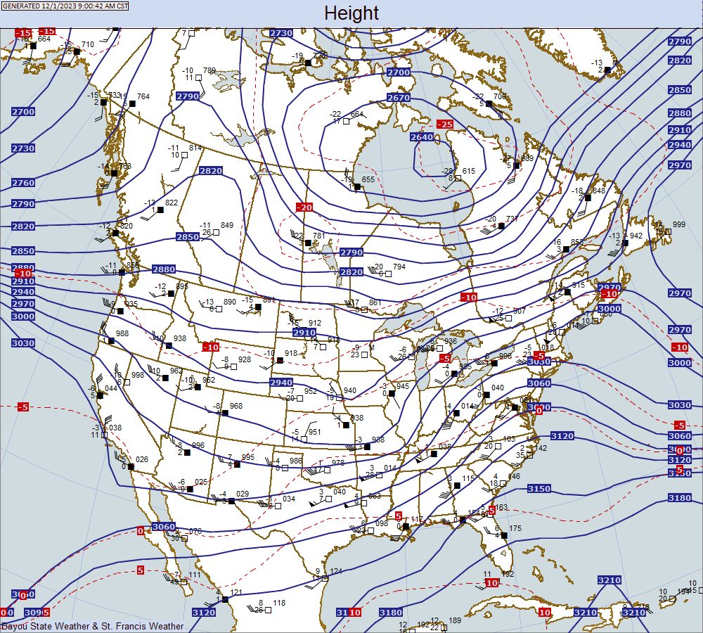 |
Wind Contours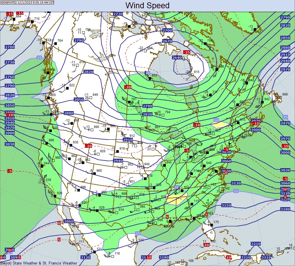 |
Dew Point Contours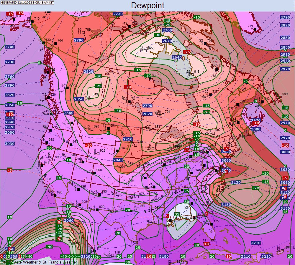 |
Theta E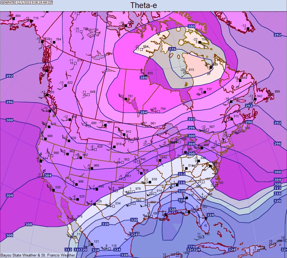 |
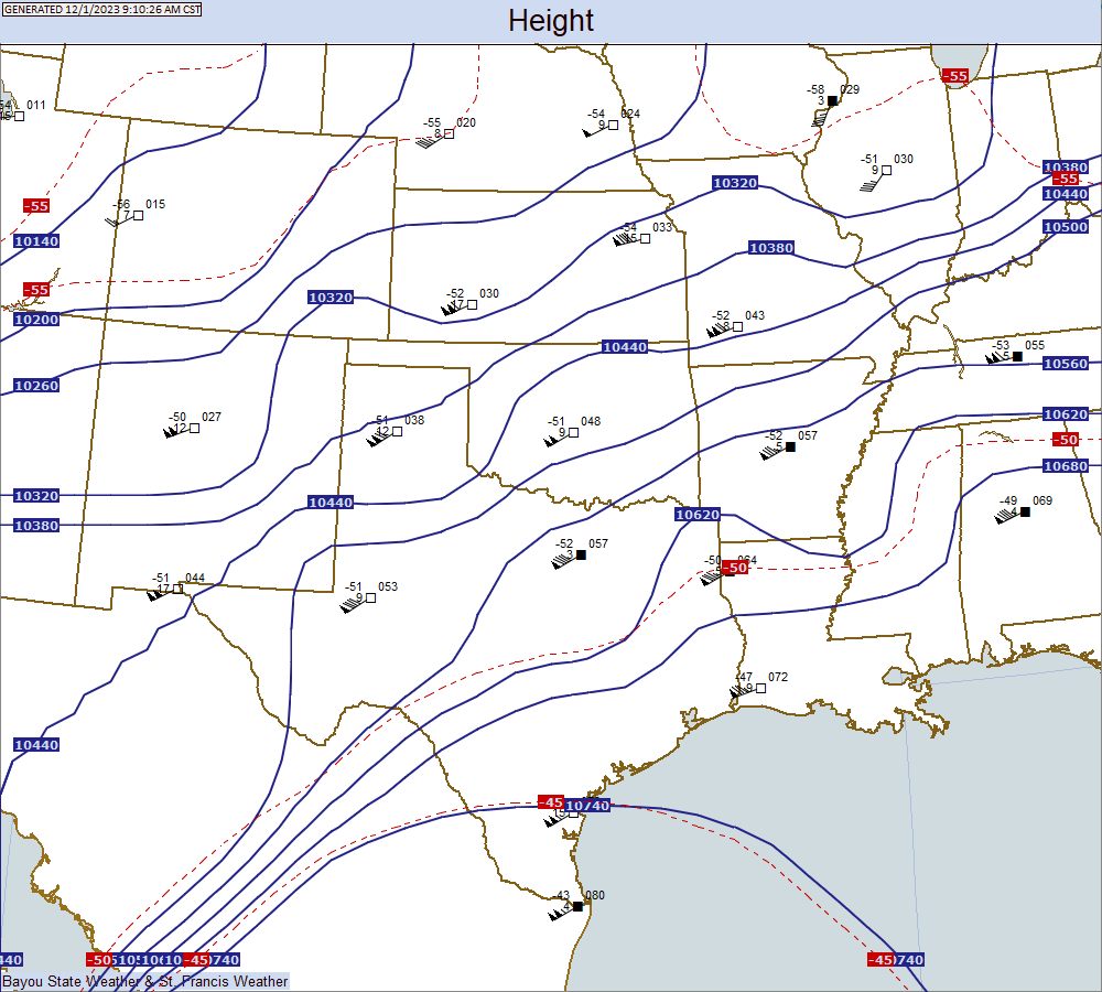
850 MB
Temperature, Height, and Station Plot |
Wind Contours |
Dew Point Contours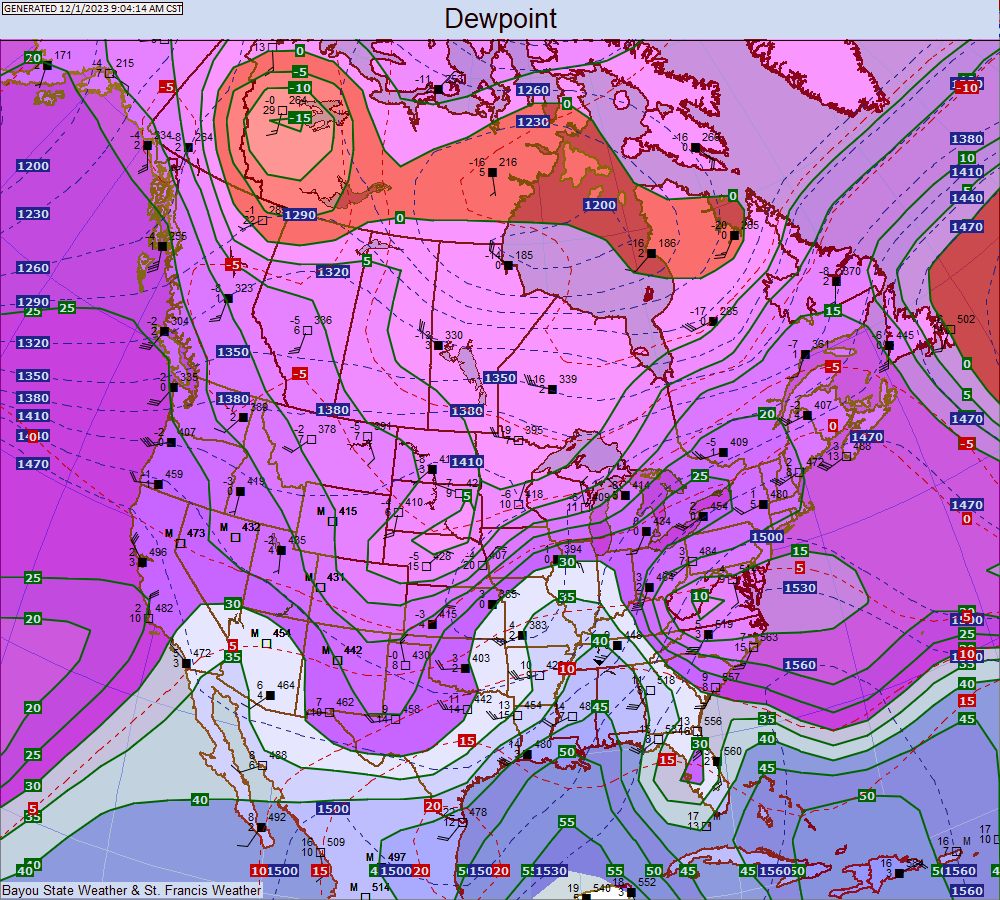 |
Theta E |
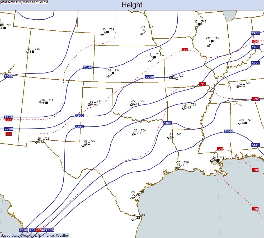
925 MB
Temperature, Height, and Station Plot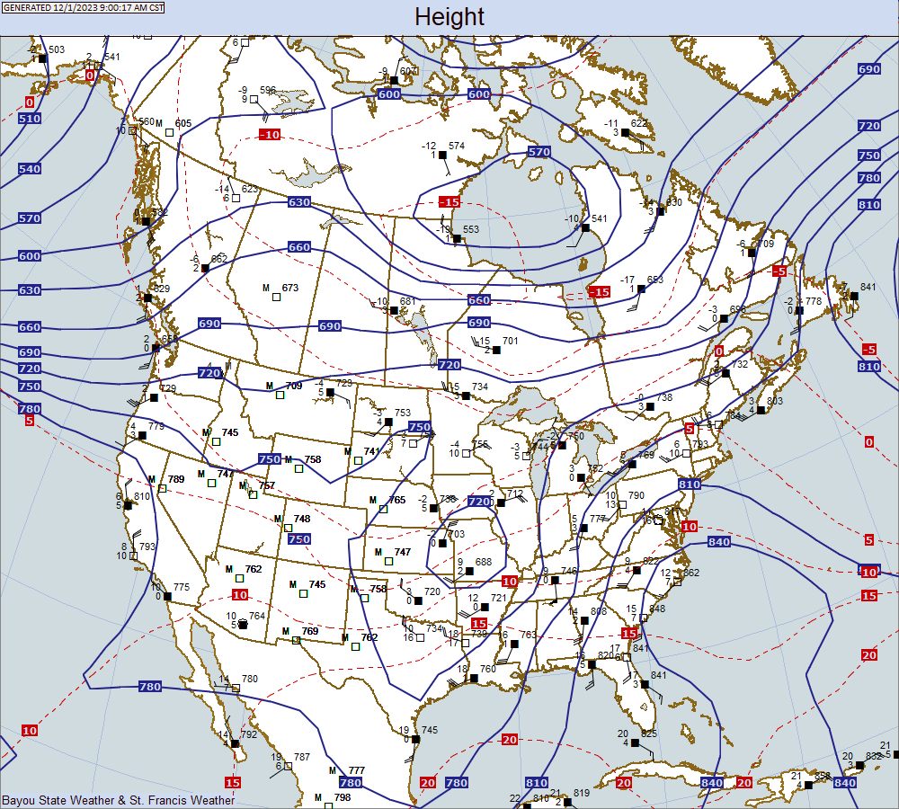 |
Wind Contours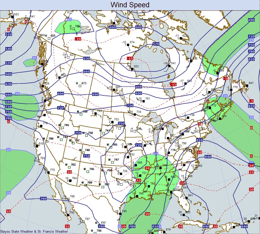 |
Dew Point Contours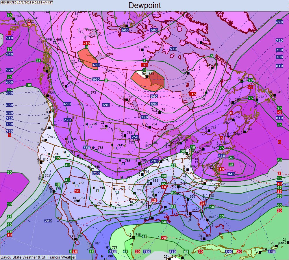 |
Theta E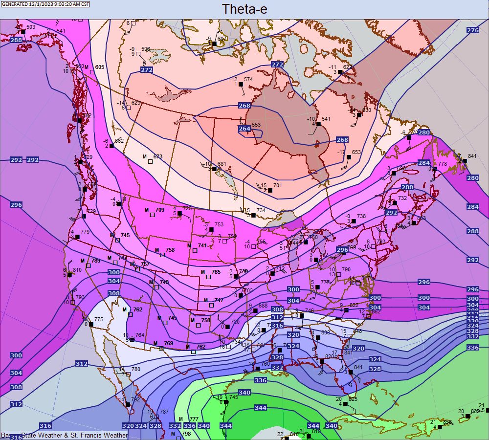 |
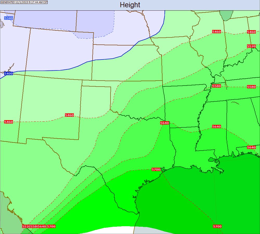
1000-500 MB Thickness
South Central Upper Maps
200 MB
Temperature, Height, and Station Plot
|
Wind Contours
|

250 MB
Temperature, Height, and Station Plot
|
Wind Contours
|

300 MB
Temperature, Height, and Station Plot
|
Wind Contours
|


400 MB
Temperature, Height, and Station Plot
|
Wind Contours
|
500 MB
Temperature, Height, and Station Plot
|
Wind Contours
|

700 MB
Temperature, Height, and Station Plot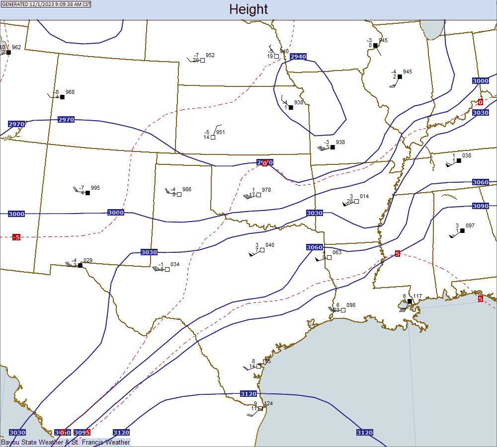 |
Wind Contours |
Dew Point Contours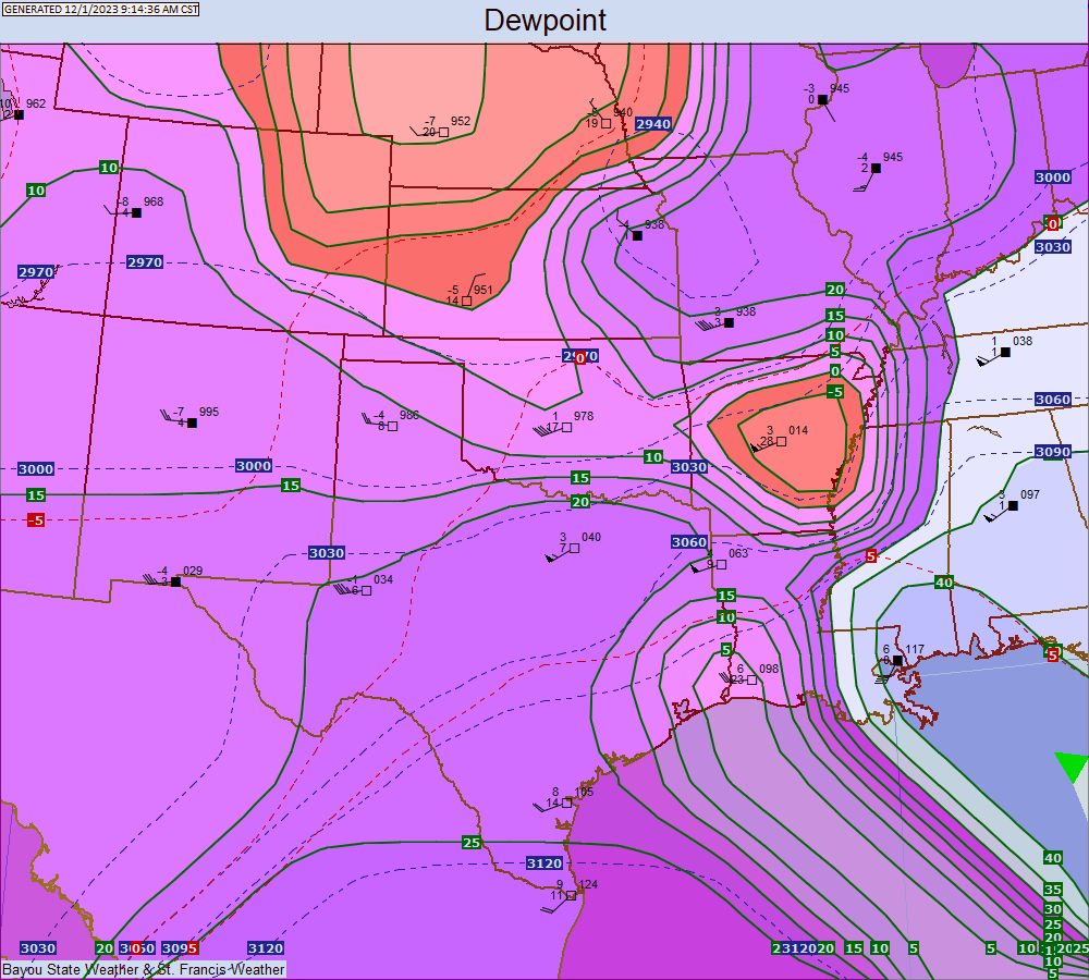 |
Theta E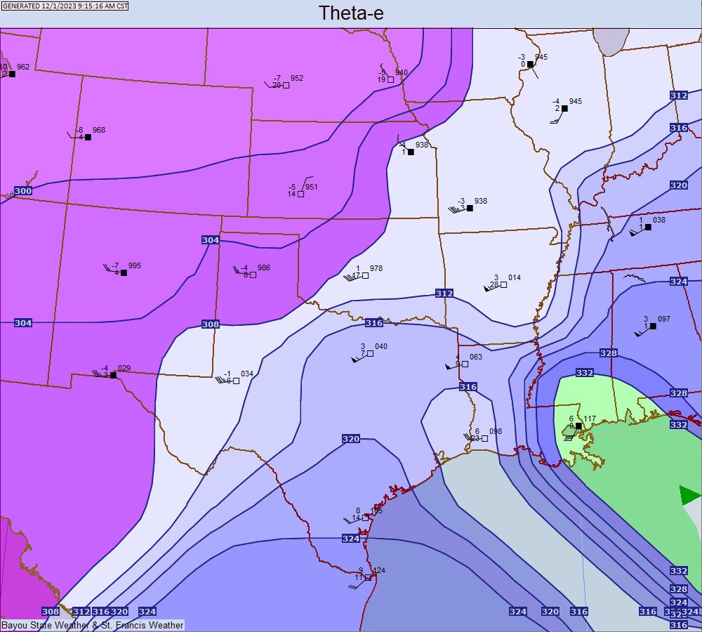 |
850 MB
Temperature, Height, and Station Plot |
Wind Contours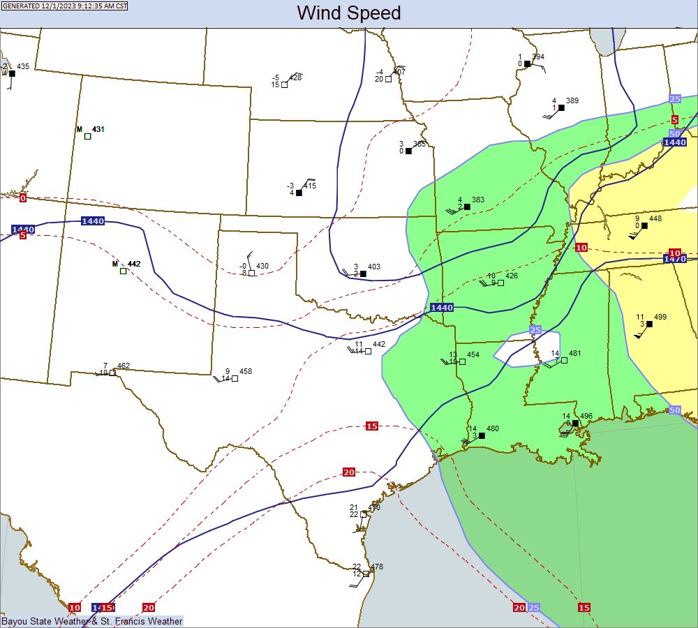 |
Dew Point Contours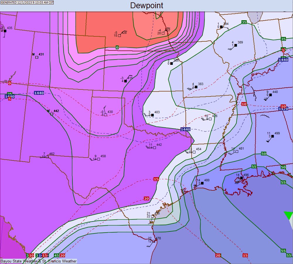 |
Theta E |
925 MB
Temperature, Height, and Station Plot |
Wind Contours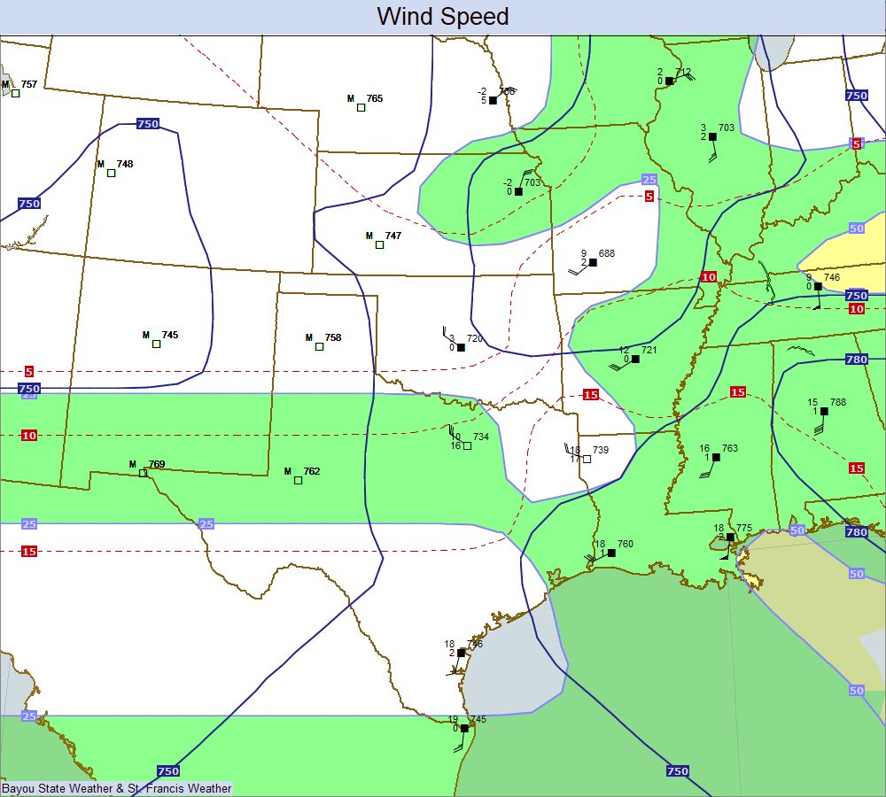 |
Dew Point Contours |
Theta E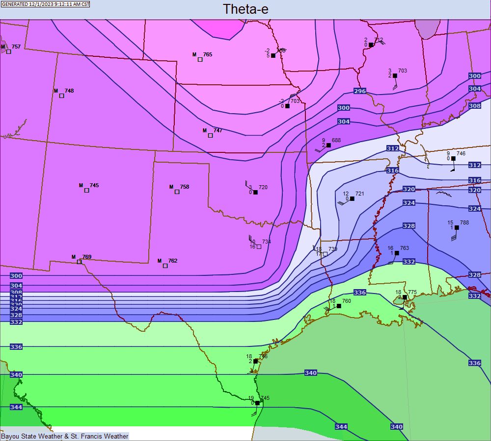 |
1000-500 MB Thickness